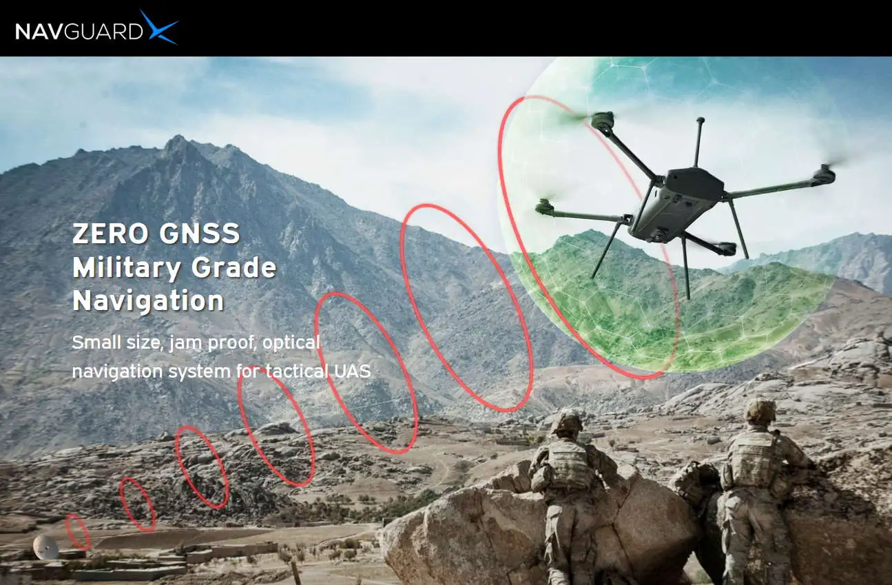
La empresa Israelí ASIO Tecnologies, líder en desarrollos de sistemas electrónicos para la defensa, ofrece una interesante solución tecnológica para UAS tácticos, que deban operar con seguridad y eficiencia aún en entornos donde se ha denegado el empleo de GNSS. En la guerra moderna, los sistemas que dependen exclusivamente del soporte GNSS para el cumplimiento de su misión, resultan extremadamente vulnerables a los ataques de GE y CME del oponente. El sistema NavGuard de ASIO, se asiste con un avanzado sistema electroóptico, que mediante la obtención de imagen / video digitalizada, la compara con la información Geo / Maps disponible a bordo de la plataforma, garantizando que el Drone pueda continuar con su misión pese a la interrupción del GNSS.
Asio Technologies, a leading electronic-defence company, has been supplying hundreds of units of its advanced products, to Israeli and overseas defence companies in recent months Asio’s NavGuard is an advanced navigation system which is installed on UAS’s, helping them navigate safely in areas where the GNSS (Global Navigation Satellite System) signal is spoofed, jammed, or simply does not exist.
In the modern battlefield Tactical UAS missions relay solely on GNSS for navigation and orientation and any disruption in GNSS service will result in either a mission failure or loss of the UAS. In addition, GNSS can be easily jammed using simple measures – compromising UAS’s on air and grounding all other UAS missions.
NavGuard system enables UAS mission regardless to GNSS availability, maintaining full and continues control over the UAS during GNSS blackout.
NavGuard’s drift free core technology is based on cutting-edge machine vision algorithms that process a live video stream of optical images. These are then compared to an on-board geo infrastructure – maps.
The real-time matching process generates a stream of low-latency and accurate positioning data, similar in nature to the data structure of GNSS messages, enabling a true supplement of the GNSS service. NavGuard’s proprietary machine vision algorithms operate on live imagery frames, taken from the NavGuard camera, digitally and continuously comparing them to an aerial map. This process defines a correlation between the real-time image and the map – thus associating the map’s grid to the images’ pixels. This allows the extraction of continuous and accurate pixel coordinates, where every pixel in the image gets a globally referenced coordinate. By doing so in real-time, image-based elements are given real-world coordinates, which in turn generates a real-time low latency, with accurate and drift-free positioning.
NavGuard cannot be interrupted or jammed, as it has no need for communication with external sources or components. NavGuard’s precision, drift-free position solution makes it the only relevant technology that can serve as a true, long-term GNSS replacement. And since GNSS interruptions and jamming are becoming a daily event, this becomes even more important. Militaries and global aviation regulatory agencies are toughening their requirements on navigational robustness. This applies to airborne platforms in general and drones in particular, demanding a robust redundancy navigation capability secondary to the GNSS.
NavGuard is available in three different models:
NOCTA EX: Fully integrated day/night optical navigation module for Large Drones – Medium Fix
Wing.
NOCTA Mini: Fully integrated day/night optical navigation module, but smaller in size, for Medium –
Large Drones.
NG Core: Lightweight, compact day-only optical navigation module for Small – Medium Drones.
Due to these outstanding features, UAS providers and defence industries are choosing NavGuard as the product of choice for their platforms.
“In an age where autonomous drones and aircraft are becoming an integral part of our population’s lives both in the military and civilian worlds – with medical shipments, food deliveries and other cargo – extra caution is needed when it comes to UAS in urban spaces. NavGuard constitutes a complete and advanced safety solution for securing flight sequences in diverse spaces. We anticipate that major UAS companies will be equipped with our safety solution.” – David Harel, CEO of Asio Technologies.
About Asio Technologies:
Asio Technologies serves the defense and paramilitary markets, with a specialization in geo-spatial
position systems encompassing navigation, positioning, mission planning, mission management. Asio
Technologies prides itself in holding several innovative registered patents in positioning and finding
north.
With a core focus on target acquisition, augmented orientation, mission planning and a common
language for the tactical command level, Asio’s solutions are based on true operational experience
ranging from surveillance and reconnaissance to targeting and weapons guidance.
Over the years Asio has built a track record of manufacturing and supplying dozens of combat-proven
innovative solutions, according to Mil-specs and ISO standards.
Mr. Harel said: “At Asio, we have a genuine and straightforward approach, with operational requirements at the core of our company. Our agile R&D and manufacturing processes and short Go-to Market strategy has enabled the company to deliver its solutions both locally and globally”.
Fuente: https://www.suasnews.com


