
Microdrones ha lanzado un nuevo sistema de drones integrado LIDAR para trabajos de topografía que cubre un amplio rango y crea y mantiene gemelos digitales de sus activos y sitios de proyectos. Llamado dron mdLiDAR1000LR, el sistema aéreo no tripulado (UAS) puede capturar datos de un rango más largo y una mayor distancia por vuelo, así como una mayor eficiencia en el equipo de levantamiento, software, flujo de trabajo, capacitación y soporte en el campo.
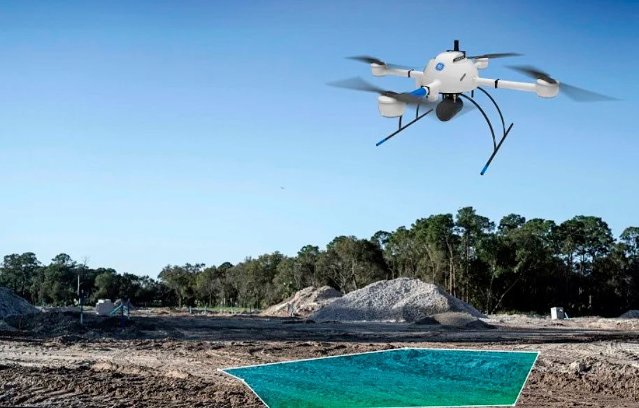
Microdrones has launched a new lidar integrated drone system for surveying work that covers a long range and creates and maintains digital twins of their assets and project sites.
Called the mdLiDAR1000LR drone, the unmanned aerial system (UAS) can capture data from a longer range and greater distance per flight, allowing larger projects to be completed more efficiently, Microdrones said.
The drone allows more efficiency in survey equipment, software, workflow, training and support in the field.
Microdrones said that lidar-integrated drones are making a serious impact for specialists across many professions in terms of data collection and generation of geospatial deliverables.
“The mdLiDAR1000LR increases the distance from which details can be captured,” said Frank Darmayan, COO at Microdrones. “It can capture powerline details at 75m for distribution and 90m for transmission, effectively doubling the range of our mdLiDAR1000HR system. Flying at 70m from the powerlines, at 8m/s allows for efficient location of the powerlines with roughly 10 points per linear meter and capturing great detail of the towers.”
The company also offers drones as a service to give users a chance to rent or buy a drone for surveying equipment along with software packages.