
En un contexto militar, esta capacidad podría proporcionar a los comandantes conocimiento del campo de batalla en 3D casi en tiempo real, lo que les permitiría rastrear los movimientos de tropas, identificar amenazas potenciales y planificar operaciones con mayor precisión.
Aechelon Technology has completed a proof-of-concept that uses AI and Vantor’s global 3D terrain data to turn ICEYE’s high-resolution radar imagery into detailed 3D synthetic environments.
The system fuses radar detections of objects and changes on the ground with Vantor’s continuously updated 3D maps, which include terrain and building footprints covering more than 95 percent of the Earth’s landmass.
Vantor supplies the data through its Tensorglobe platform, supported by a satellite constellation that can revisit the same area up to 15 times per day.
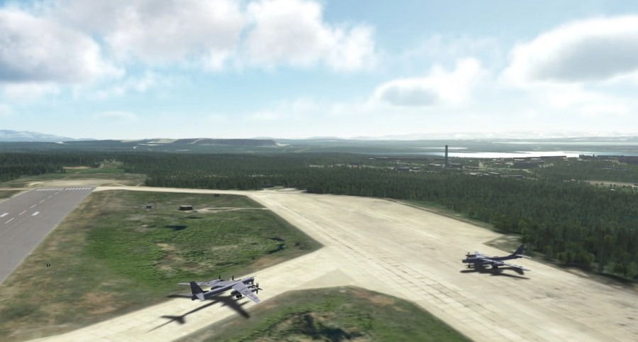
Aechelon’s AI models process vegetation, turn building footprints into 3D structures, and match radar detections to create real-time representations of moving targets or new structures.
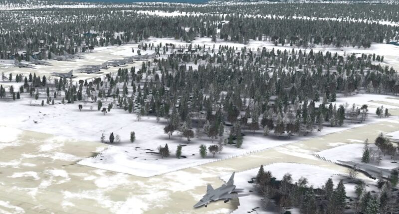
Additional AI features can even simulate environmental effects such as snow accumulation.
In a military context, the capability could provide commanders with near real-time, 3D battlefield awareness, allowing them to track troop movements, identify potential threats, and plan operations with greater accuracy.
From Satellites to Synthetic Terrain
This marks the first time Vantor’s software-based spatial intelligence has been integrated into Aechelon’s Project Orbion tool, which the company called the industry’s first AI-enabled, continuously updated “digital twin” of the Earth.
Project Orbion creates a unified 3D environment that blends satellite imagery, radar data, photogrammetry, and live detections into a single, actionable view.
The capability was showcased at the 2025 Interservice/Industry Training, Simulation, and Education Conference in Orlando.
Beyond defense, Aechelon said the system could aid disaster response, emergency management, and training for autonomous systems.
Fuente: https://militaryai.ai